
Geotech Investigations
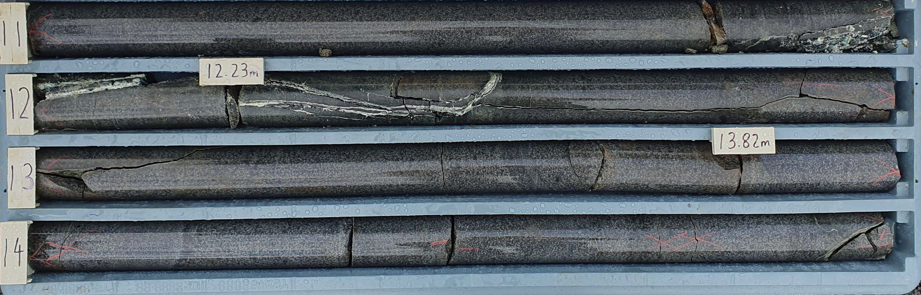
A comprehensive geotechnical investigation has been undertaken to assess the ground conditions at the Macquarie Point site. This investigation involved a detailed analysis of existing subsurface data and the completion of additional boreholes to provide a thorough understanding of the site’s geological characteristics.
We have collected data from over 700 boreholes on site which have been consolidated into a 3D model.
Latest Investigations
- Drilled 20 new boreholes (2.7m to 28.82m deep), with 16 for geotechnical purposes and four to inform an acid sulfate analysis.
- Conducted 17 cone penetration tests (CPT) to measure soil properties, with depths from 1.46m to 11.2m.
- Collected rock and soil samples for lab testing, including soil chemistry, moisture content and rock strength.
Site Conditions:
The Site is divided into three zones:
- Northern Zone: Mostly loose fill over dolerite rock due to past quarrying.
- Central Zone: Flat dolerite with estuarine deposits and fill.
- Southern Zone: Deeper fill and alluvial deposits shaped by ancient river channels.
Key Ground Layers Include:
- Fill: Loose, unstructured material.
- Estuarine and Alluvial Deposits: Layers of sand, gravel and clay.
- Dolerite Rock: Hard rock that varies in weathering.
These geotechnical investigations will help inform development across the site, including the Multipurpose Stadium, as set out in our integrated planning application, available here.